Cactus Mapping

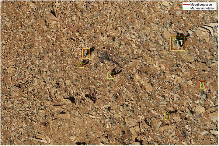
The invasive Opuntia robusta wheel cactus continues to spread in the iconic Flinders Ranges and elsewhere around Australia, despite substantial control efforts by volunteers and land managers. This cactus is a Weed of National Significance (WONS), and causes substantial environmental degradation by outcompeting native flora, degrading habitat, reducing available food sources, and can even cause injury and death to native fauna, including the near-threatened Yellow-footed Rock Wallaby. This project conducted investigations into the potential of computer vision and machine learning methods applied to drone imagery for distinguishing O. robusta from surroundings. Findings from this project should guide future O. robusta mapping efforts, enabling improved management and control of this significant weed species.